Click here: YouTube
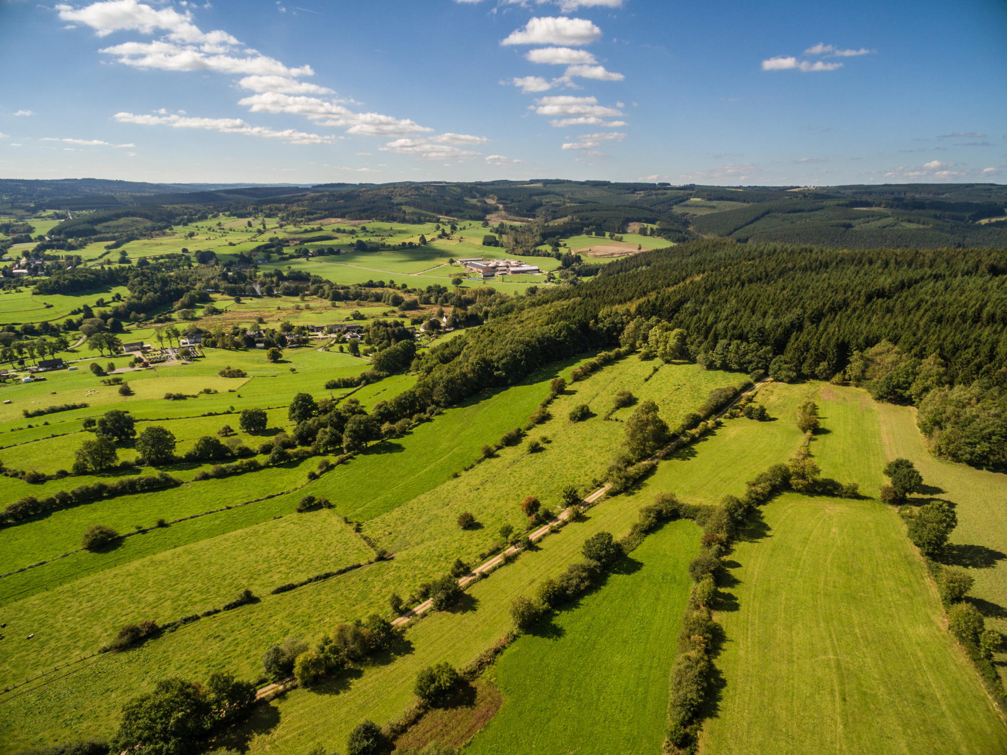
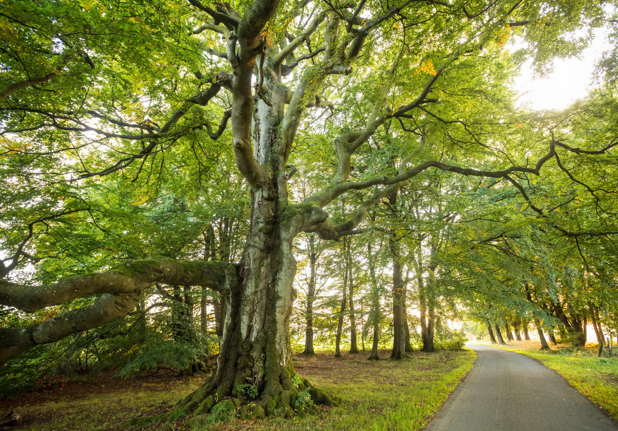
Characteristic of the country around St. Vith are the open landscapes and extensive agricultural areas. The only wooded area you cross is the Emmelserwald, not far from the border with the Walloon region.
Download GPX fileStarting and finishing point of the tour: Triangel, St. Vith
Description of the route: 84 > 50 > 35 > 39 > 32 > 34 > 156 > 161 > 165 > 160 > 169 > 66 > 52 > 49 > 84
Parking: Triangel, St. Vith


The slate mine at Recht. It's near junction number 156. Until 1908, the famous blue slate was mined here.
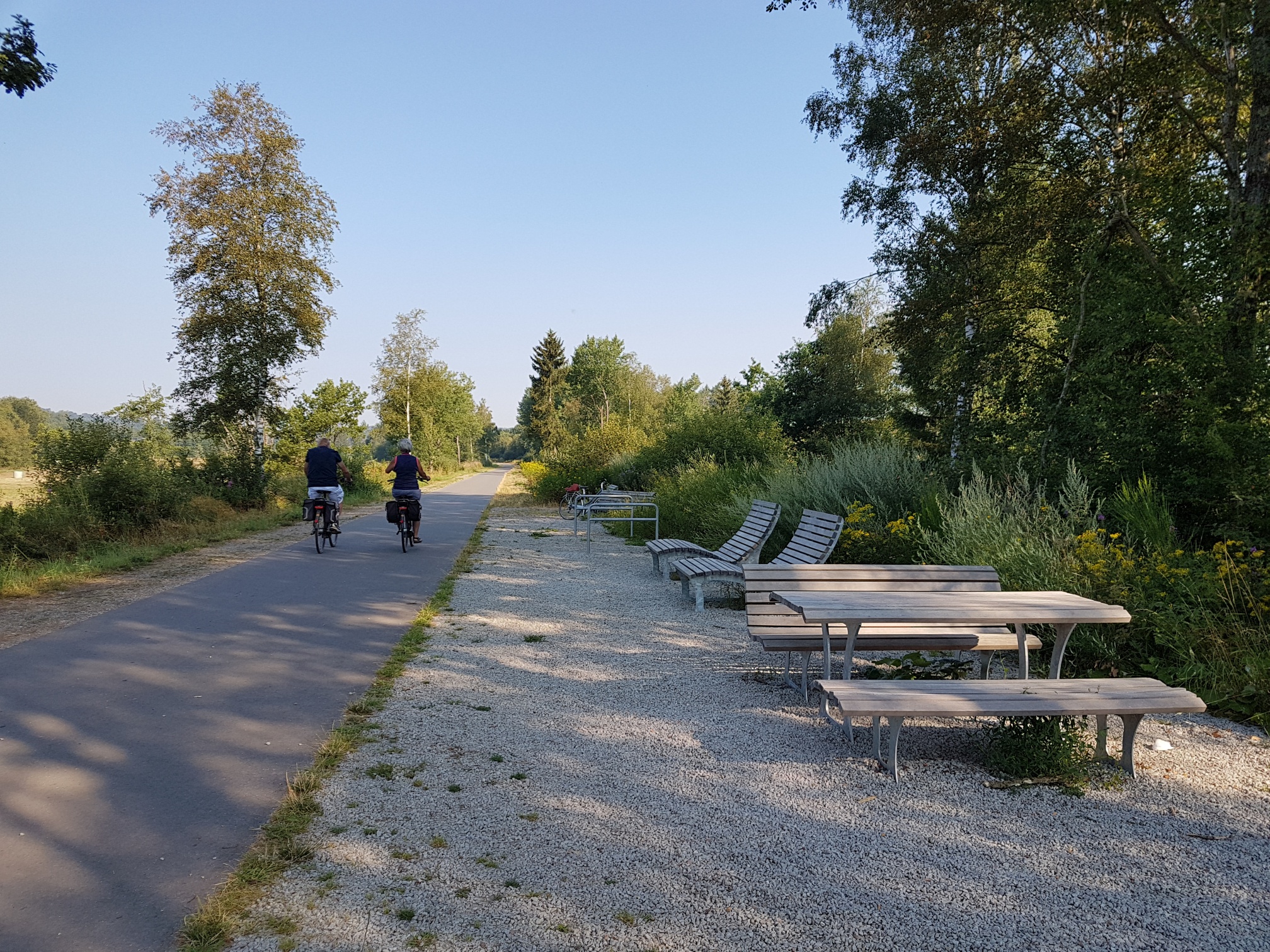
For the first 10 km, you ride on the Vennbahn towards Waimes. On the other side of the bushes, some lower-lying marsh areas, which are under conservation, lie along the former railway line. You go through them before you leave the Vennbahn towards Recht. Beyond the village the large Emmelserwald awaits you. It’s uphill here.
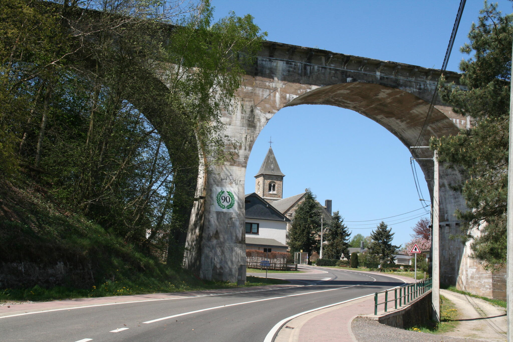
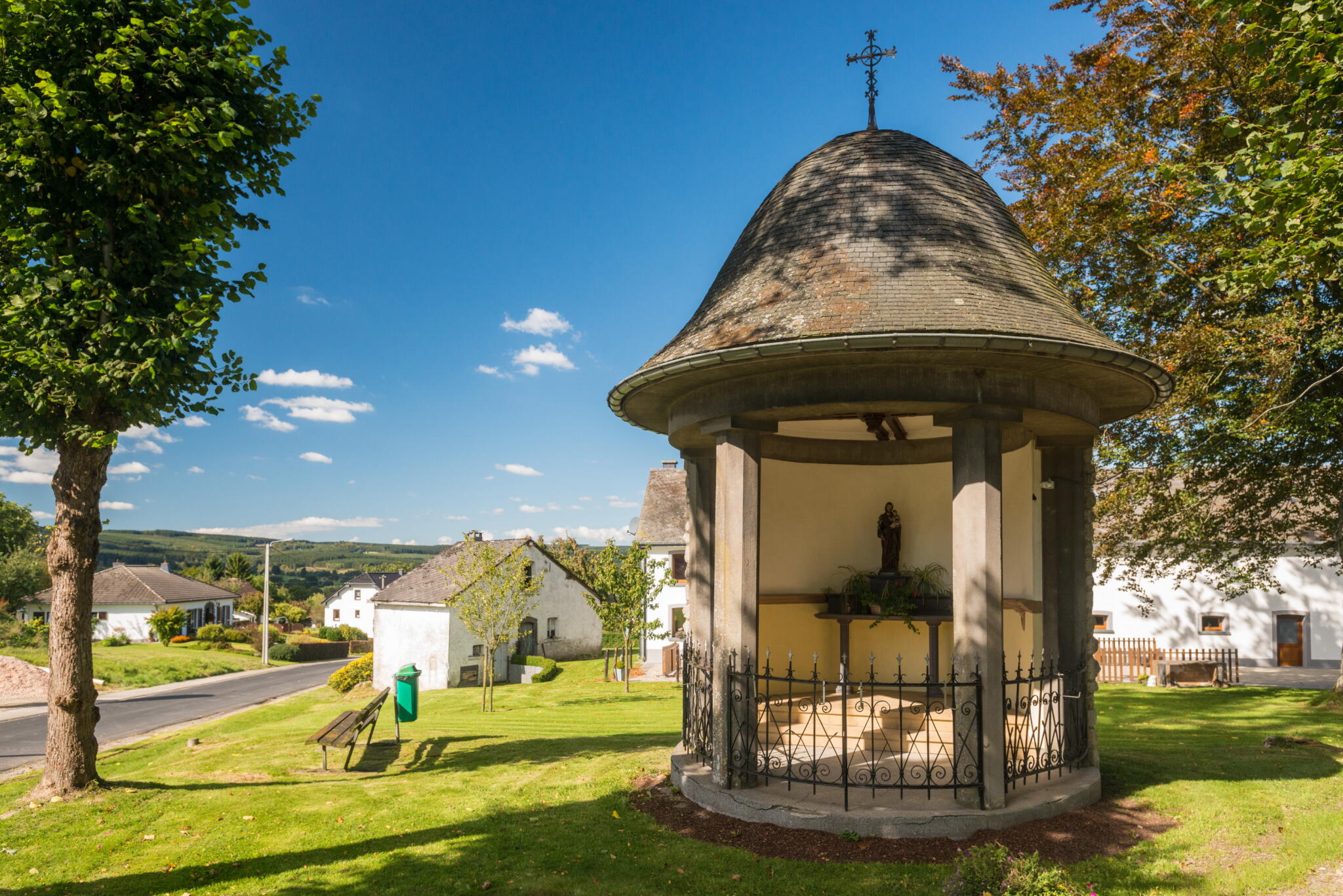
At an elevation of 580 m, on the southern edge of this area, you come across a café, also known as a beer museum on account of its unusual decoration, which consists of innumerable beer bottles from all over the world. It’s part of the village of Rodt, through which you then pass shortly afterward on your way to Neundorf, a suburb of St. Vith. Neundorf’s snow-white village church and the railway viaduct are major features of this place.
Safety information
Vorsicht auf den öffentlichen Straßen sowie auf dem Radweg bei entgegenkommenden Radfahrern, Wanderern oder anderen Nutzern.
Along the route
Rodt: Café “Biermuseum”
Montenau: various catering facilities
Recht: various catering facilities
Sankt Vith: various catering facilities